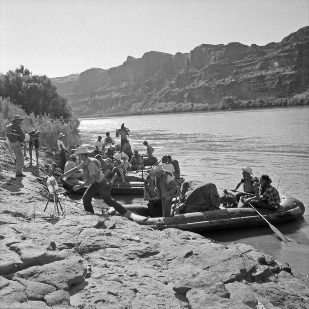
In May 1869, John Wesley Powell and his crew began a 13-week, approximately 1,000-mile exploration of the Green and Colorado Rivers. They carried two sextants, four chronometers, and a collection of barometers, thermometers, and compasses. The gear enabled the party to survey the “Great Unknown,” as the river system was called.
On June 9, 1869 in the Lodore Canyon, the party lost one of their four boats, the No Name, in a violent rapid. The boat, which had waterproof compartments, broke in two. Unfortunately, all of the party’s barometers were in the No Name. Without barometers, Powell’s expedition would be unable to measure elevations of the Colorado Plateau terrain, one of the main goals of the exploration.
As luck had it, the next day Powell and his men were able to reach a stranded section of the boat, and retrieved several barometers and a small keg of whiskey, thus preserving some means and motivation to chart the territory.
The voyage grew increasingly arduous. The focus turned from scientific measurement to sheer survival as the party’s food supply and functioning gear were reduced rapid by rapid. In a way, the voyage was a series of barometric readings punctuated by boating accidents. By late August, they had lost or broken all the scientific instruments, but had made contact with local settlers, who provided them with food and shelter. Ultimately, Powell left the Colorado at the confluence of the Virgin River and returned to Salt Lake City.

Credit: Park City Historical Society & Museum, Kendall Webb Collection
The 1869 exploration gets the headlines due to its dramatic episodes, but Powell’s subsequent exploration actually accomplished many of the scientific aims he initially envisioned.
In April 1871, Powell embarked on a second float. Armed with foreknowledge and a new plan, the party reached the Paria River/Lee’s Ferry area, which was farther upstream than the previous expedition’s end point. There they left their boats. The party began to explore the region by horseback, with the goal of establishing a base line for topographic measurement. Reaching the Kanab area, Powell’s organizational abilities and demand for precision led to a major advancement in our country’s knowledge of the Southwest.
Powell’s party established a precise nine-mile base line south from Kanab into Arizona. The process involved a contraption of 14-foot poles, plummets, wires, and other impedimenta to measure a true line over uneven terrain. It took months to accomplish the survey with accuracy. Some days they only advanced several hundred yards.
In February 1872, they determined the north end of the base line was 14,863 feet from the 37th Parallel, the Utah-Arizona border. With the base line established, they sighted on nearby peaks and other geographic features. The proliferation of triangular sections began.
Ultimately the interlocking triangles ranged far and wide. According to the Utah Historical Quarterly,
At this point the expedition broke up the Kanab Gap camp, went to the west end of the Kaibab Plateau, then via Pipe Spring to the Mt. Trumbull area, and then to Berry Spring — ten miles above Washington, Utah, on the Virgin River…Toward the end of May they started in a northeast direction from Kanab toward the Dirty Devil River country and the Henry Mountains…On still another extended trip — down the Colorado from Lee’s Ferry to the mouth of Kanab Creek Gulch and back to Kanab — the men of the Powell Survey were extending the system of triangles from the base line at Kanab.
Powell’s topographers, F.S. Dellenbaugh and John Renshaw, filled in the details and a map was created and delivered to Washington, D.C. in a lead tube.
Two other technologic advancements helped the effort. One: the party used a telegraph line from Kanab to Salt Lake City to verify astronomical observations. The “time checks” they performed enabled Powell’s team to verify the exact longitude and latitude of the base line near Kanab. Two: Powell employed the emerging technology of photography to provide a view of the Southwestern landscape. These photos by E. O. Beaman, J. K. Hillers, and W. C. Powell (Powell’s cousin) did much to show the rest of the U.S. what a treasure they had in the Colorado Plateau.
Local pilot Dorian DeMaio will give a lecture on the course of Powell’s 1869 expedition from a pilot’s viewpoint on Wednesday, September 8 from 5 to 6 p.m. Register for the lecture here. And stay tuned for an article about an expedition that traveled through our region.