This is the ninth article in a series on the Conkling Mining Co. v. Silver King Coalition Mines Co. lawsuit.
The Pirate King lode claim lay between and parallel to the Nero and Conkling claims in the upper reaches of Walker and Webster Gulch. The north side line of the Pirate King corresponded to the south side line of the Nero. When U. S. deputy mineral surveyor Adolf Jessen came to survey the Pirate King in June of 1888, he had in his possession the field notes of the Nero survey taking it to be a claim 1,500 feet in length. Desiring to lay out the Pirate King as 1,500 feet in length, he would very naturally rely upon the monuments which he found marking the south side line of the Nero for course and distance. Because the Pirate King was a parallelogram, its south side line was parallel to and equal in length to its north sideline.
Returning to survey the Conkling lode claim more than a year later in November of 1889, Mr. Jesson used the south side line of the Pirate King to establish the Conkling’s north side line. The boundaries of the Conkling were now tied to the Nero through the Pirate King. All three claims having parallel side lines of equal length.
During the course of mining engineer C. P. Brook’s testimony, it was intimated that the original error in distance was made when the Nero was surveyed by U. S. deputy surveyor Joseph Gorlinski in April, 1881. The westerly end lines of all three claims, as determined by the posts erected and the bearing trees marked, fell approximately 135 feet short of the length of the patent call for their side lines. This piece of testimony could be important in determining the outcome of the case.
Gorlinski, father of famed Park City mine mapmaker Robert Gorlinski, served as a Major in the Union Army during the Civil War. A civil engineer and cartographer, he was sent from Washington to Utah in 1869 to make government surveys and open the first federal land office in Salt Lake City. He was a land and mining attorney and thought of as a most thorough mining engineer.
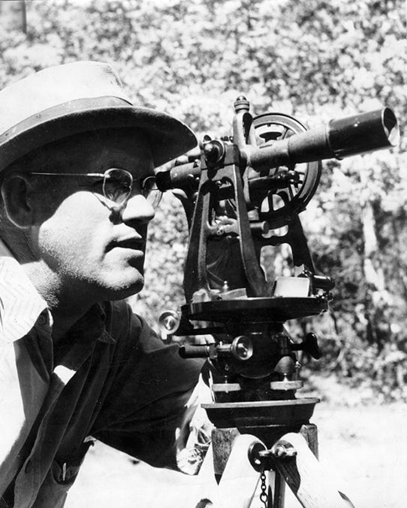
Distance measurements were made with a surveyor’s chain, 66 feet long. Measuring upon the slope of the mountain, the surveyor’s assistants would take a series of horizontals, which they would determine by holding the chain, as nearly as they could estimate, in a horizontal position.

Credit: Park City Historical Society &Museum, Jennie Peterson Collection.
Every variation from an absolute horizontal was a source of error, and very often the chainmen in a rough country were required to “break chain”—that is, use less than 66 feet. When the entire line had thus been measured between objects, it was no infrequent thing to err in reporting to the surveyor the number of horizontals taken. The greater the distance traversed, of course, the greater the likelihood of error. If each measurement were made without “breaking chain,” then each horizontal would call for 66 feet. If a chainman reported to the surveyor a couple of horizontals more than he had taken, his report of a line 1,500 feet in length would fall short of being correct by just 132 feet.
This story will be continued. To learn more about mining history in Park City, visit the Park City Museum and Hal Compton Research Library.