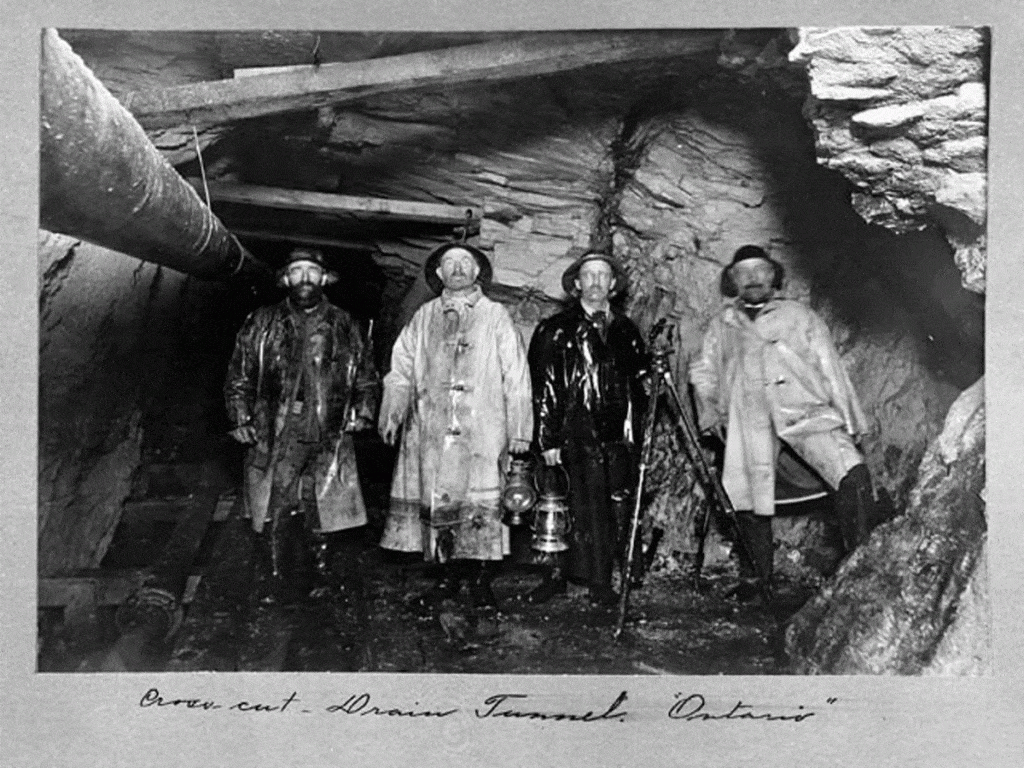
It is likely that anyone who owns a piece of property is familiar with its legal description. The legal description of a parcel of land is a precisely-written record defining the boundary lines of the property and is commonly found in a deed. A legal description of property is a way to accurately pinpoint where a particular piece of property is located and is based on the findings of a professional surveyor using special equipment to determine exactly where the property’s boundaries are.
The metes and bounds of a property are the actual boundary lines. Metes and bounds is a method of surveying land that is centuries old, much of the original thirteen colonies was measured this way. The surveyor uses a specific point of beginning in the section where the property sits and maps out where the property begins and ends, reconnecting at the point of beginning. A legal description containing metes and bounds will describe the point of beginning and indicate the directions and distances from that point that outline the parcel.
Metes and bounds are the boundary lines of land, with their terminal points and angles. It is a way of describing land by listing the compass directions and distances of the boundaries. In November of 1889, Adolphe Jessen, deputy United States mineral surveyor, made a survey of the Conkling lode mining claim in Park City. His legal description of the site read as follows:
“Beginning at corner No. 1, a pine post four inches square marked U. S. 689 P. 1. Thence by courses and distances northwesterly to corner No. 2, a pine post four inches square marked U. S. 689 p. 2. Thence second course, south sixty degrees and forty-five minutes west one thousand five hundred feet to corner No. 3. Thence third course, south twenty-one degrees and nine minutes east six hundred feet to corner No. 4.”
Federal statute limits the size of lode claims to a maximum of 1,500 feet in length and 600 feet in width. A claim was to be “distinctly marked on the ground so that its boundaries could be readily traced.” Distance was measured by a chain or tape or triangulation. A solar compass was used to indicate direction and establish bearing. The solar compass operated somewhat like a sundial. There were often inaccuracies due to terrain and the equipment used.
The posts marking the Conkling claim corners were actually 133.5 feet short of the 1,500-foot length given in the written legal description. The conflict between the survey and the worded patent would spark a 13-year legal battle that would ultimately be decided by the U. S. Supreme Court and involve millions-of-dollars-worth of high-grade silver ore.
Future articles will detail the prolonged struggle between the Conkling Mining Company and the Silver King Coalition over the disputed 133.5 feet. Learn more about mining surveying on February 5, 2020 as Michael Kim McCarter, Professor Emeritus in the Department of Mining Engineering at the University of Utah, presents a lecture at the Park City Museum Education & Collections Center located at 2079 Sidewinder Drive from 5-6 p.m.

Credit: Park City Historical Society & Museum, Jordanelle Special Service District Collection